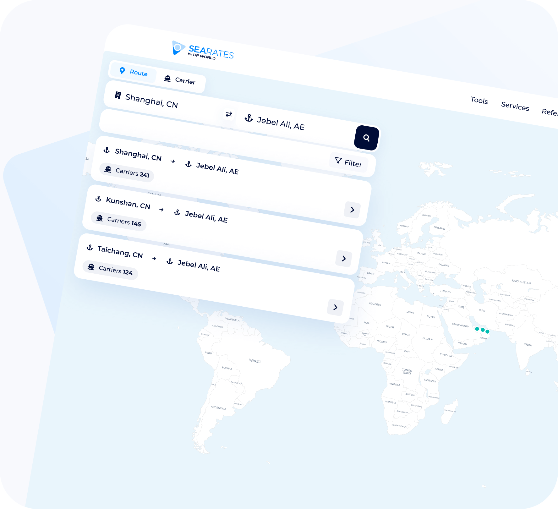
Sea Lines Explorer is a shipping line search logistics tool that allows you to fast out which shipping lines will carry out transportation from point A to point B of a sea route. The port and carrier mapping software makes it much easier to fast the carrier that is ideal for a specific shipment.
This global shipping network explorer provides the user with complete and up-to-date information about shipping lines, as well as a transportation schedule. The user simply needs to choose the departure point and the receiving point, select the region. All the necessary information is displayed on the screen within a few seconds. This is data on the ports that are served by different sea freight companies and shipping companies in the region that was selected.
Do you want to know which carrier can deliver a cargo to a specific terminal? This steamship line route mapping software will allow you to do this in a matter of seconds. The user does not need to visit numerous websites to find the necessary information, analyze routes, and transshipment ports. There is no need to compare risks and transit times. All this is taken care of by one single modern maritime carrier research tool.
Extend my usage
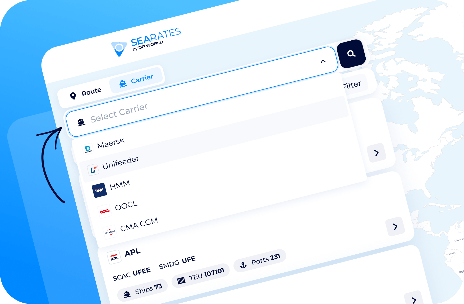
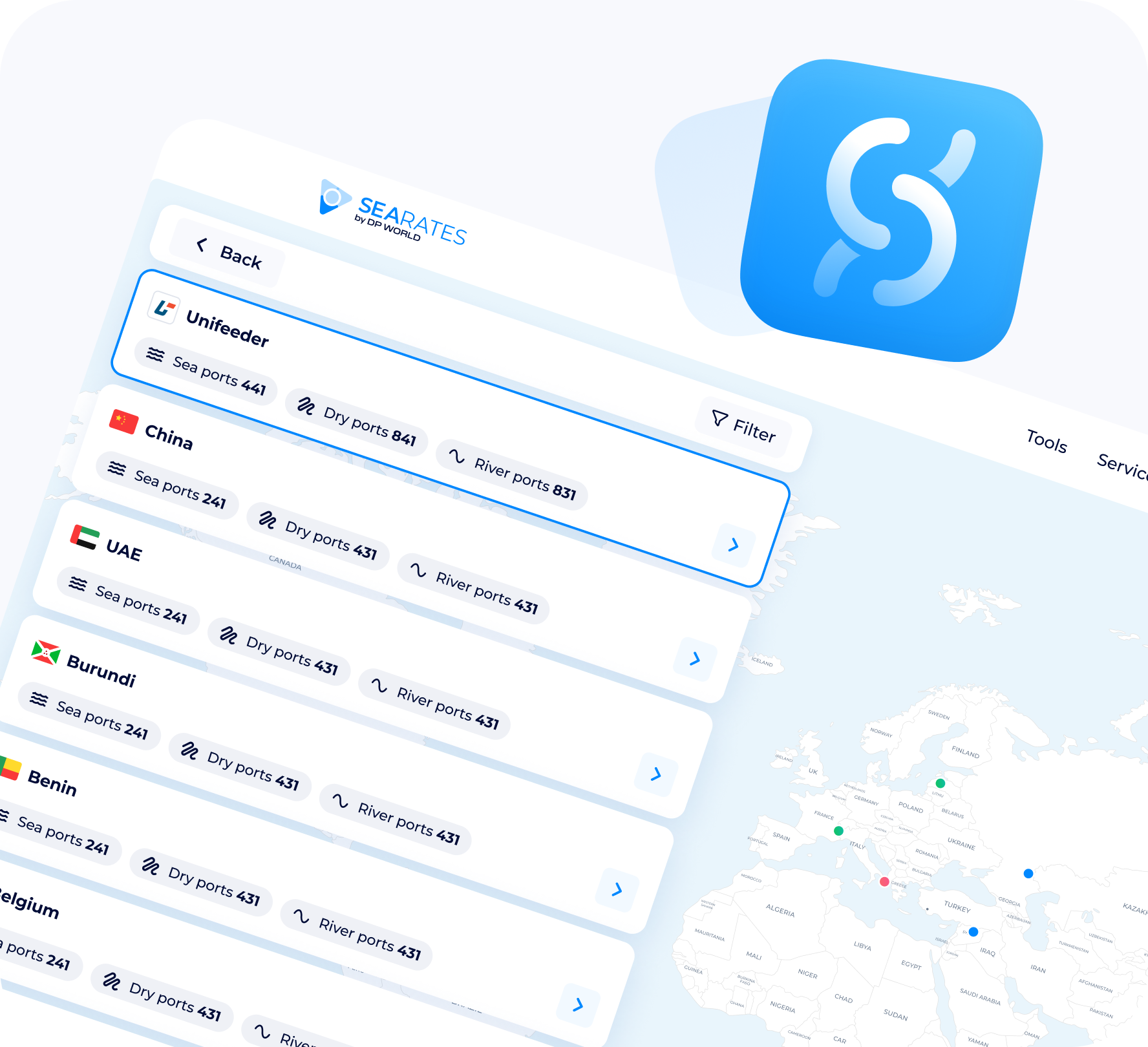
Find ports by Carrier
Freight forwarders and sea freight companies often have to find out which carrier to contact for information on rates for a specific port or destination. All of this takes a lot of time. But not with SeaLine Explorer! Using this ocean carrier identification tool, you can, among other things, immediately evaluate rates and book the service for your cargo.
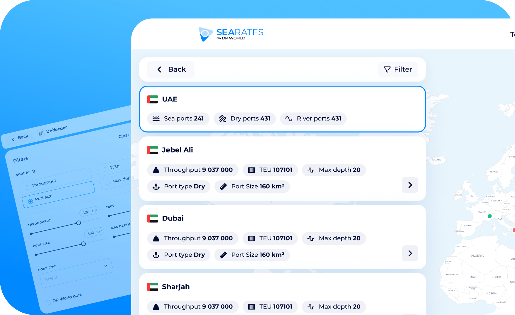
Compare available options and find additional ones
The sea route planner software will display information not only about exact matches. In addition, you will be able to get data about secondary options that may also interest you. SeaLine Explorer is ready to give you even more than you need!
The database is regularly updated so that the user is aware of the latest changes and has the ability to plan their logistics as accurately as possible. You receive up-to-date data for each port and carrier, and this information is synchronized directly, instantly.
Analytics
The container shipping visualization tool provides information on the transit time of the last containers that were tracked.
Time saving
You do not need to search for lines and manually compare freight. The software does everything instead of you.
Intuitive interface
SeaLine Explorer is extremely easy to use. Even if you are not very tech-savvy, it will take you no more than a few minutes to master the interface.
Ability to share information with the client
Provide clients with guaranteed truthful and accurate information from an authoritative source. Do it in just a few clicks.
You can integrate this port and carrier mapping software into your website or application. Customers will use your services, receiving up-to-date data from our servers. Add such a service to your ecosystem – and get an important competitive advantage. Additional customer loyalty is guaranteed.